Expanding Meaningful Environmental and Watershed Literacy with Geospatial Technology Tools and Practice
March 3 to April 14 EST
- What: Seven-week professional development series.
- When: Tuesdays from 4 to 6:30 p.m. on March 3, 10, 17, 24, 31; April 7 and 14, 2026. Classroom implementation, reflections, and final survey due May 22, 2026.
- Where: Synchronous online learning via Zoom.
- Audience: K-12 classroom teachers, school administrators, curriculum designers, and nonformal educators.
- Credits: Up to 30 Act 48 continuing education hours will be provided for Pa. Certified Teachers.
- Cost: Free.
- Registration closes on Monday, February 23, 2026. Space is limited, and enrollment will be offered on a first-come, first-served basis.
- MWEE Designation: MWEE and EL&S Special Topics and Deeper Dives.
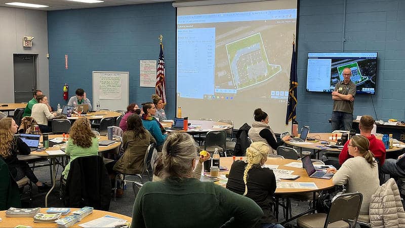
Using geographic information systems (GIS) and geospatial technologies, participants will explore complex interdisciplinary phenomena and environmental issues in their local watersheds, while using examples from the Great Lakes Basin to provide a shared learning context. This place-based methodology has been demonstrated as a highly effective strategy for teachers and students to better understand connections within the natural world at all grade levels.
Free